Skip Intro
Welcome to the wonderful world of Map Making
Let's unfold some maps!
for the joy of
making maps
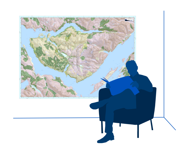
owning beautiful maps
management optimisation with trusted quality maps
Need a map, advise or map services?
Please :
1
2
3
for the joy of
for the joy of
for the joy of
making maps
owning beautiful maps
management optimisation with trusted quality maps
Map
Making
Tuition &
Support
Airphoto
Interpretation
GIS &
Management
LINKS
ABOUT US
CONTACT US
SHOP
Map
Making
Tuition &
Support
Airphoto
Interpretation
GIS &
Management
LINKS
ABOUT US
CONTACT US
SHOP
CONTACT US
+3
+2
+1
0
-1
-2
-3