



Airphoto Interpretation
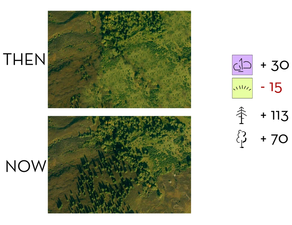
Landscape analyses and surveys
Landscapes are complex, and untangling them needs insight and an overview. That is why aerial photography is often used for detailed analysis.
With our background in land survey, photogrammetry, mapping from air photos and airphoto interpretation, we read aerial photographs the way others read a newspaper. We can produce detailed surveys of subtle changes and differences in landscapes. These can be surveys in their own right or can help reduce time-consuming fieldwork.
Tell us about your landscape and we’ll suggest how aerial photography can support your project. Contact us